Aworth News
Greenfield sites
December 01, 2020
In the Summer, we reported how Prime Minister Boris Johnson had delivered a speech, referred to as ‘build, build, build’ in which he unveiled the most ‘radical reforms to our planning system since the Second World War, making it easier to build better homes where people want to live’.
Central to this were plans to make it easier to build on brownfield sites – in a bid to revive high streets and reduce the need to build on greenfield sites. The fact remains though that, with a pressure to build more houses, there are an increasing number of developments now going ahead on greenfield sites.
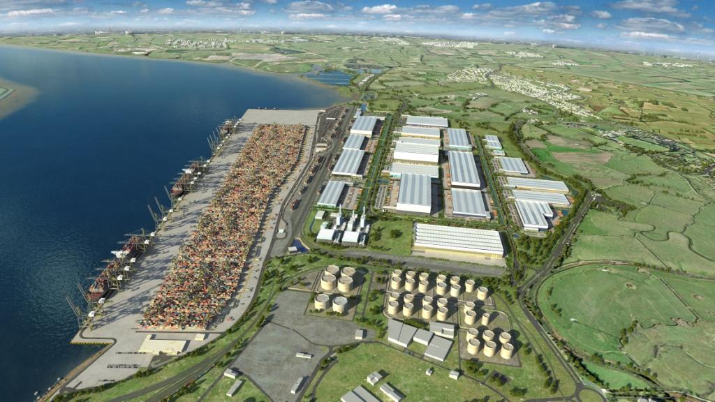
Greenfield sites are areas of previously undeveloped land, usually agricultural or amenity land, which are being considered for urban development.
Architects, designers, engineers, local authorities and town planners who are involved with developments on greenfield sites typically require far more than just a survey drawing and, in this case, we can provide a complete topographical survey service.
We can provide topographic data prepared from ground survey observations for a variety of end users. This can include terrain models, contours and infrastructure mapped to precise accuracy and scale, providing topographical 2D and 3D data, wire frame models and digital ground models for all types of projects, including residential developments and road schemes.
If you’d like to know more about our work in this area, do get in touch: 01825 768319.
Head Office
Norfolk House, Norfolk Way,
Uckfield, East Sussex TN22 1EP
T: 01825 768 319
London Office
The Lansdowne Building,
2 Landsdowne Road, Croydon CR9 2ER
Newsletter
Subscribe to our mailing list to keep in touch with all the latest news or follow us on:

![]()

© 2026 Aworth Survey Consultants. All rights reserved.
Site by: Networld Design