Aworth News
Mapping the rally
October 08, 2019
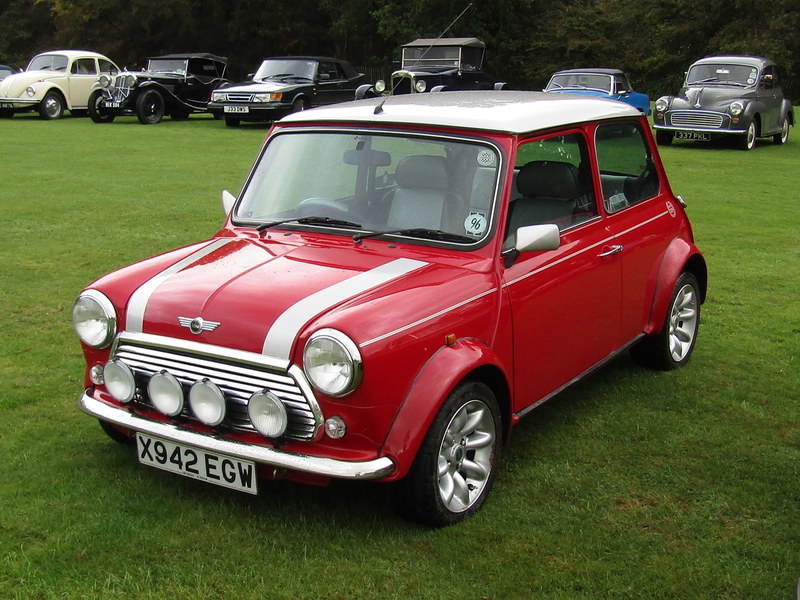
Aworth Survey Consultants was delighted to support Uckfield and District Lions Club recently in organising its 16th Classic Car Run by providing maps for all the entrants to navigate the route from.
“Through our MAPS@Aworth division, we can create route maps for any type of event, based on Ordnance Survey mapping data,” says John Witherden, Managing Director at Aworth Survey Consultants. “We are pleased that everyone taking part in this charity event were able to negotiate the course with ease.”
It was only the second time in 16 years that the event was wet, but more than 100 cars took part in the car run which set off and finished at The Halfway House public house in Isfield. From there, they passed through Maresfield, across the Ashdown Forest to Haskins Snowhill garden centre for coffee and back through Ardingly and Lindfield, before returning to the pub for a welcome pig roast.
As ever, the Lions were raising money for charity and, this year, all the profits will go to Wealden Works [url=http://www.wealdenworks.co.uk]http://www.wealdenworks.co.uk[/url]. Each year, Wealden Works provides opportunities for local young people in rural areas aged 16-24 years who do not benefit from contacts with the business world and support networks, to ‘bridge the gap between education and work’ and take that important step on their personal journey into employment further education and contributing citizenship.
For more information about the services offered by MAPS@Aworth, click here: https://www.aworth.co.uk/os_mapping


