Aworth News
One Decade of Galileo Satellites in Orbit
November 03, 2021
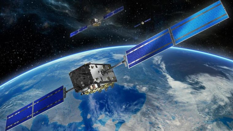
Last month marked the tenth anniversary of the launch of the first two operational Galileo satellites.
Here at Aworth we use Leica GNSS smart antennas for accurate positioning of our surveys to the latest Ordnance Survey OSGM15 geoid and OSTN15 grid with post processing of observations by the Leica RTKplus network which includes signal tracking from GPS, GLONASS, Galileo and BeiDou for the greatest accuracy of mapping to Britain’s OS National Grid coordinate system.
To read the full article about the collaboration of Europe's global navigation satellite system: https://www.gim-international.com
Head Office
Norfolk House, Norfolk Way,
Uckfield, East Sussex TN22 1EP
T: 01825 768 319
London Office
The Lansdowne Building,
2 Landsdowne Road, Croydon CR9 2ER
Newsletter
Subscribe to our mailing list to keep in touch with all the latest news or follow us on:

![]()

© 2026 Aworth Survey Consultants. All rights reserved.
Site by: Networld Design