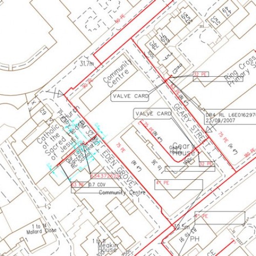
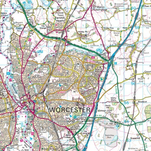
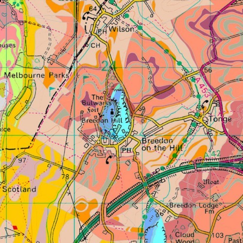
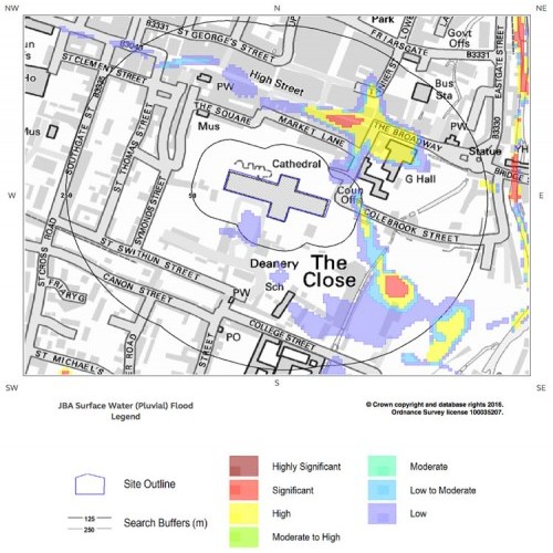
OS Mapping
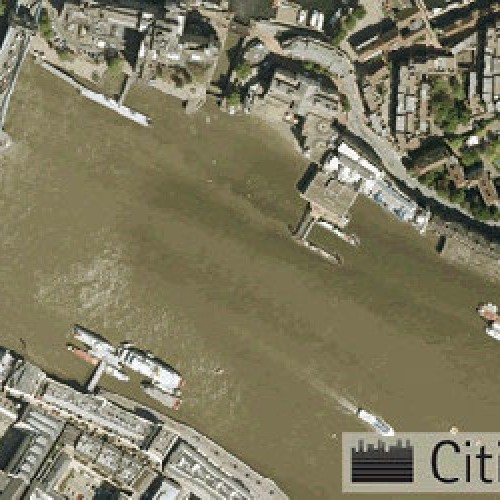
Aerial Imagery
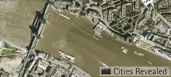
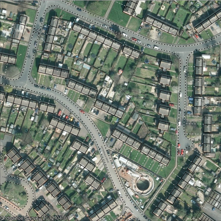
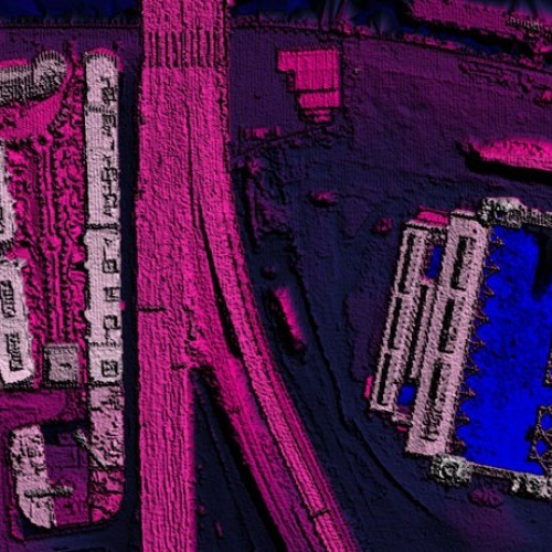
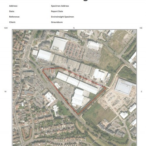
High-quality aerial photography supplied by Maps@Aworth allows you to identify sites, access points, boundaries and road layouts. Aerial imagery is supplied in a JPEG file format, with a JGW file for Georeferencing.
Please see the table below for a list of our suppliers and their resolutions:
| Supplier | Resolution | Date Range | Coverage | Updates | WMS Available |
| Ordnance Survey | 25cm | 2008 onwards | GB | 3-5 yrs | |
| Get Mapping | 12.5-25cm | 1999 onwards | GB | 3-5 yrs | Yes |
| Bluesky | 10-25cm | 1999 onwards | GB | 3-5 yrs | |
| LPS Northern Ireland | 25cm | 2008 onwards | NI | ||
| Blom | Limited | 5-10 yrs | |||
|
Cities Revealed
| 5-25cm | 1940 onwards | Limited |
Please note: The lower the resolution, the greater the clarity of image.
Aerial imagery may also be combined with MasterMap data and contours to provide property level mapping with relevant height information and aerial photography in instantly usable formats. We are able to provide these as individual files or in one single layered PDF file.
From £20 + VAT
To buy now, or for further, advice please call 01825 768379 or email maps@aworth.co.uk
We provide same day turnaround on many of our products.
Our Other Professional Mapping Products
Head Office
Norfolk House, Norfolk Way,
Uckfield, East Sussex TN22 1EP
T: 01825 768 319
London Office
The Lansdowne Building,
2 Landsdowne Road, Croydon CR9 2ER
Newsletter
Subscribe to our mailing list to keep in touch with all the latest news or follow us on:

![]()

© 2026 Aworth Survey Consultants. All rights reserved.
Site by: Networld Design