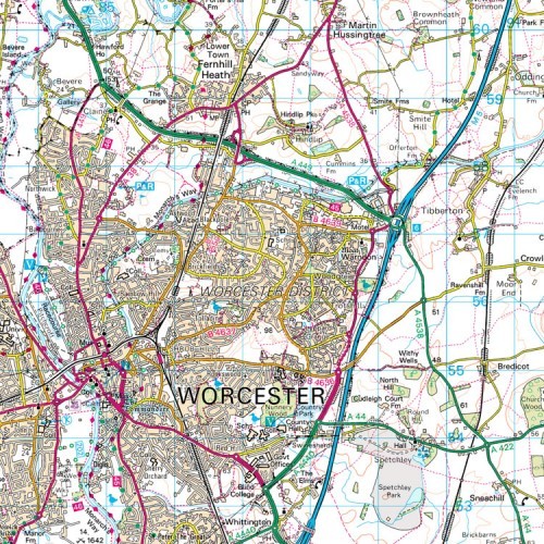
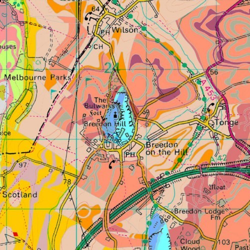
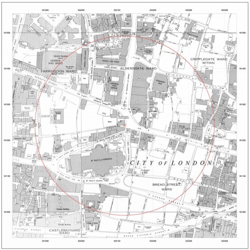
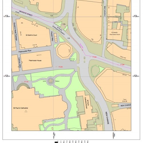
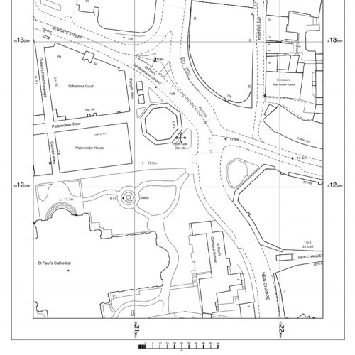
OS Mapping
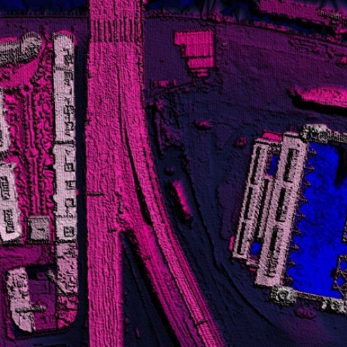
Height Data
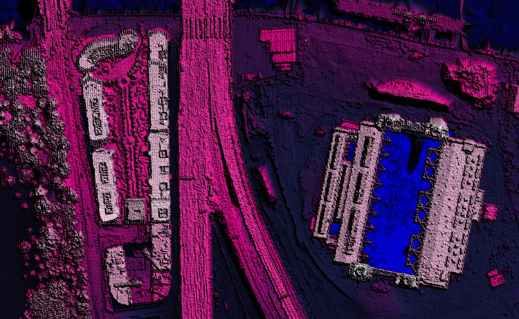
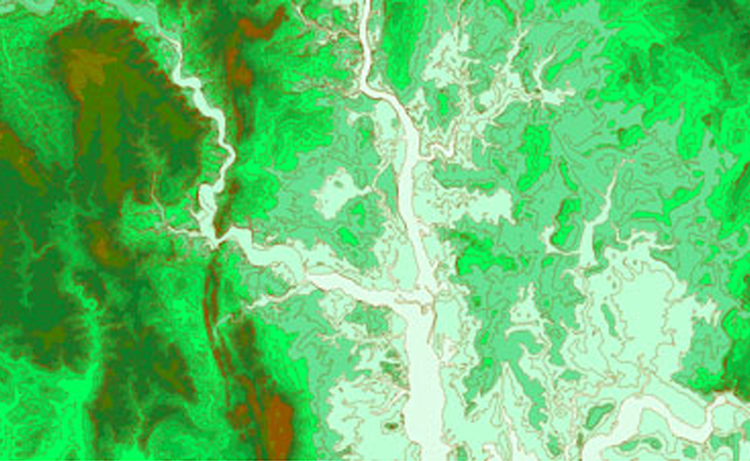
Height data from Maps@Aworth comes in an extensive range of formats and with a vast spread of resolutions to meet any needs. The data may be brought into CAD and GIS software for a range of 3D analyses, such as terrain modelling, flood modelling, drainage analysis and environmental impact assessment.
All formats are geo-referenced with an x,y location to allow precise overlay with other OS mapping products. Our top suppliers are:
- Ordnance Survey – The OS offers datasets OS Terrain 5 with a 5m resolution and OS Terrain 50 with a 50m resolution. Both cover the whole of Great Britain and are available as DTM.
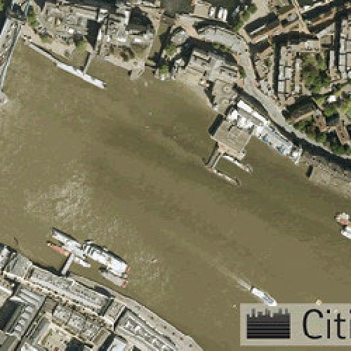
- Environment Agency – The EA LiDAR dataset comes at between 2-0.25m resolution and covers coastal, flood risk and urban centres. Available as DTM or DSM.
- Intermap – The NEXTMap dataset comes at a 5m resolution and covers the whole of Great Britain. Available as DTM or DSM.
- Cities Revealed – Focusing on urban centres and environs, Cities Revealed offers data at a 2m or 1m resolution. Available as DTM or DSM.
- Airbus Defence & Space – The Astrium LiDAR dataset comes at between 2-0.5m resolution and covers 100+ urban areas throughout Great Britain. Available as DTM or DSM.
From £14 + VAT
To buy now, or for further, advice please call 01825 768379 or email maps@aworth.co.uk
We provide same day turnaround on many of our products.
Our Other Professional Mapping Products
Head Office
Norfolk House, Norfolk Way,
Uckfield, East Sussex TN22 1EP
T: 01825 768 319
London Office
The Lansdowne Building,
2 Landsdowne Road, Croydon CR9 2ER
Newsletter
Subscribe to our mailing list to keep in touch with all the latest news or follow us on:

![]()

© 2026 Aworth Survey Consultants. All rights reserved.
Site by: Networld Design