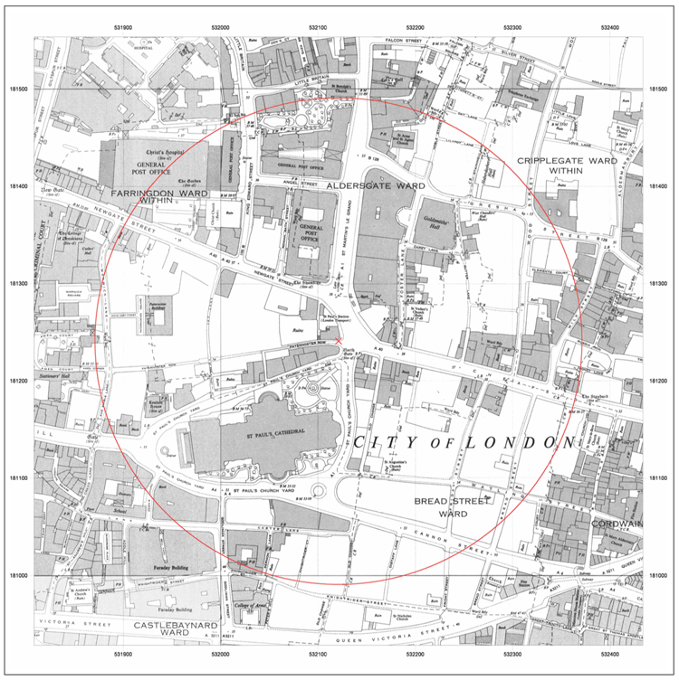
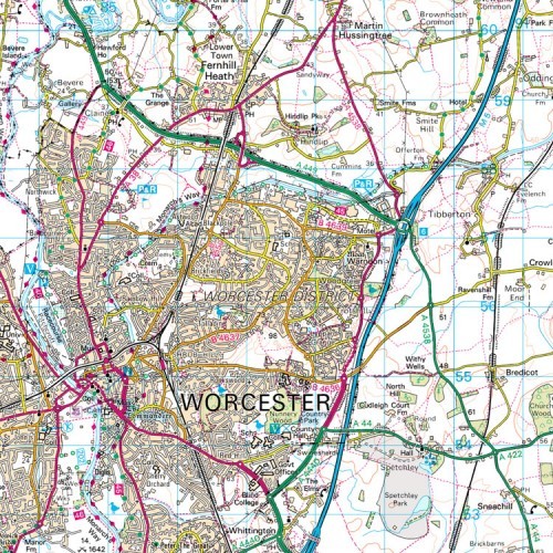
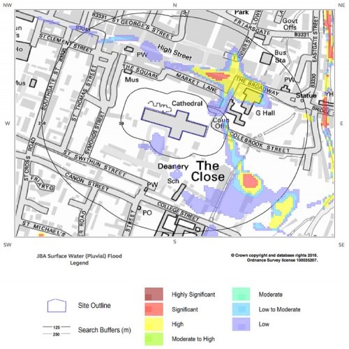
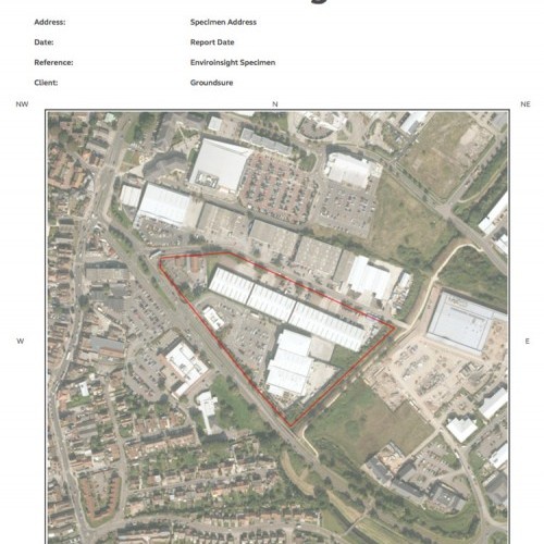
OS Mapping
OS Historical Mapping
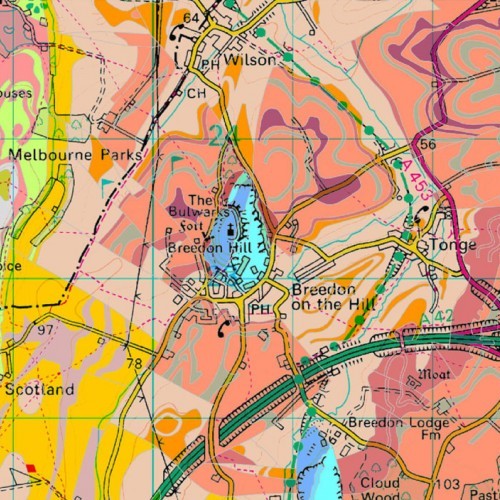
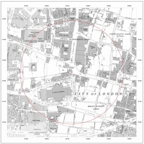
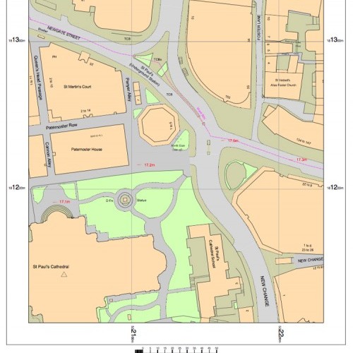
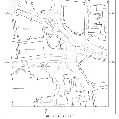
Maps@Aworth is pleased to offer access to the Groundsure Map Insight full historical range, containing the most comprehensive collection of OS historical maps, dating back to 1840. The mapping is site centred and orientated to the National Grid providing a clearer picture of the historical character of any site.
- Mapping available from 1840 to 1995
- Provided in A3 packs or as single A3 sheets
- 1:1,250, 1:2,500 or 1:10,000 scale
- Output Options: PDF or JPEG image
- Hard copies can be provided upon request
From £105 + VAT
To buy now, or for further, advice please call 01825 768379 or email maps@aworth.co.uk
We provide same day turnaround on many of our products.
Our Other Professional Mapping Products
Head Office
Norfolk House, Norfolk Way,
Uckfield, East Sussex TN22 1EP
T: 01825 768 319
London Office
The Lansdowne Building,
2 Landsdowne Road, Croydon CR9 2ER
Newsletter
Subscribe to our mailing list to keep in touch with all the latest news or follow us on:

![]()

© 2026 Aworth Survey Consultants. All rights reserved.
Site by: Networld Design