Industry leaders in land surveys, engineering surveys,
BIM and measured building surveys.
EXCELLENCE
Over 60 years experience
Since 1963 we have continued to develop our broad client base, mostly on recommendation.
We pride ourselves in producing high quality work and delivering projects on time.
![]()

Ordnance Survey Maps & Data for MasterMap,
Planning Application Maps, Historical Mapping and more.
Aworth Survey Consultants is Regulated by RICS
The global professional body promoting and enforcing the highest international standards in the valuation,
management and development of land, real estate, construction and infrastructure.


Introduction
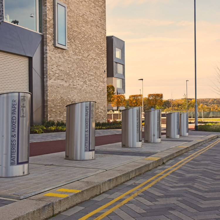
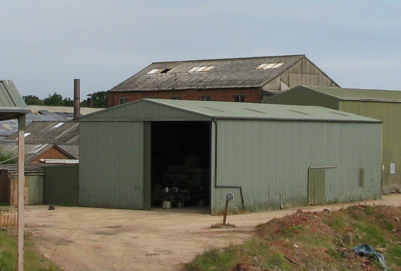
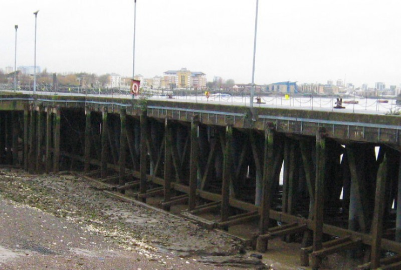
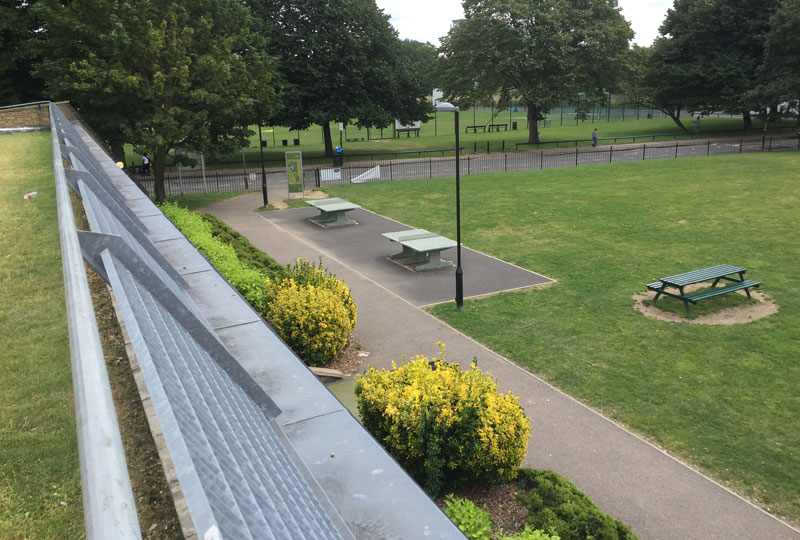
Aworth Survey Consultants provides measured building surveys, topographical surveys, boundary demarcation, BIM data and a wide range of geospatial and geomatics engineering services.
Established in 1963, Aworth is one of the most highly regarded survey companies in the UK and recognised as an expert in both measurement and data capture.
The survey data we provide is trusted as accurate and reliable and underpins our clients’ decisions, analysis and design.
Our experienced and highly qualified team undertakes a wide range of project types - large and small - using precision Leica survey equipment, Autodesk AutoCAD and Revit software packages.
As a firm, we are Regulated by RICS and a full member of The Survey Association.
Trusted from concept to delivery for over 60 years.


Head Office
Norfolk House, Norfolk Way,
Uckfield, East Sussex TN22 1EP
T: 01825 768 319
London Office
The Lansdowne Building,
2 Landsdowne Road, Croydon CR9 2ER
Newsletter
Subscribe to our mailing list to keep in touch with all the latest news or follow us on:


![]()

© 2019 Aworth Survey Consultants. All rights reserved.
Site by: NWD